

Routes, not just maps
Suggest paths by time available, interest, age group, or destination—not just a floor plan with a you-are-here dot.
Static floor plans answer the wrong question. Updatable wayfinding that suggests paths by time, interest, or destination keeps visitors moving and staff free.
Suggest paths by time available, interest, age group, or destination—not just a floor plan with a you-are-here dot.
Gallery closes for install? Gate reassigned? Booth moved? Update the map once and every screen reflects it.
Elevator, ramp, and accessible entrance routing makes it easy for everyone to navigate your space.
Build one wayfinding project, then deploy different snapshots to each location so every terminal, resort wing, or transit hub shows the right map. Hospitality and travel teams use this to keep gate navigation, amenity finders, and terminal routes accurate without maintaining separate projects per site.
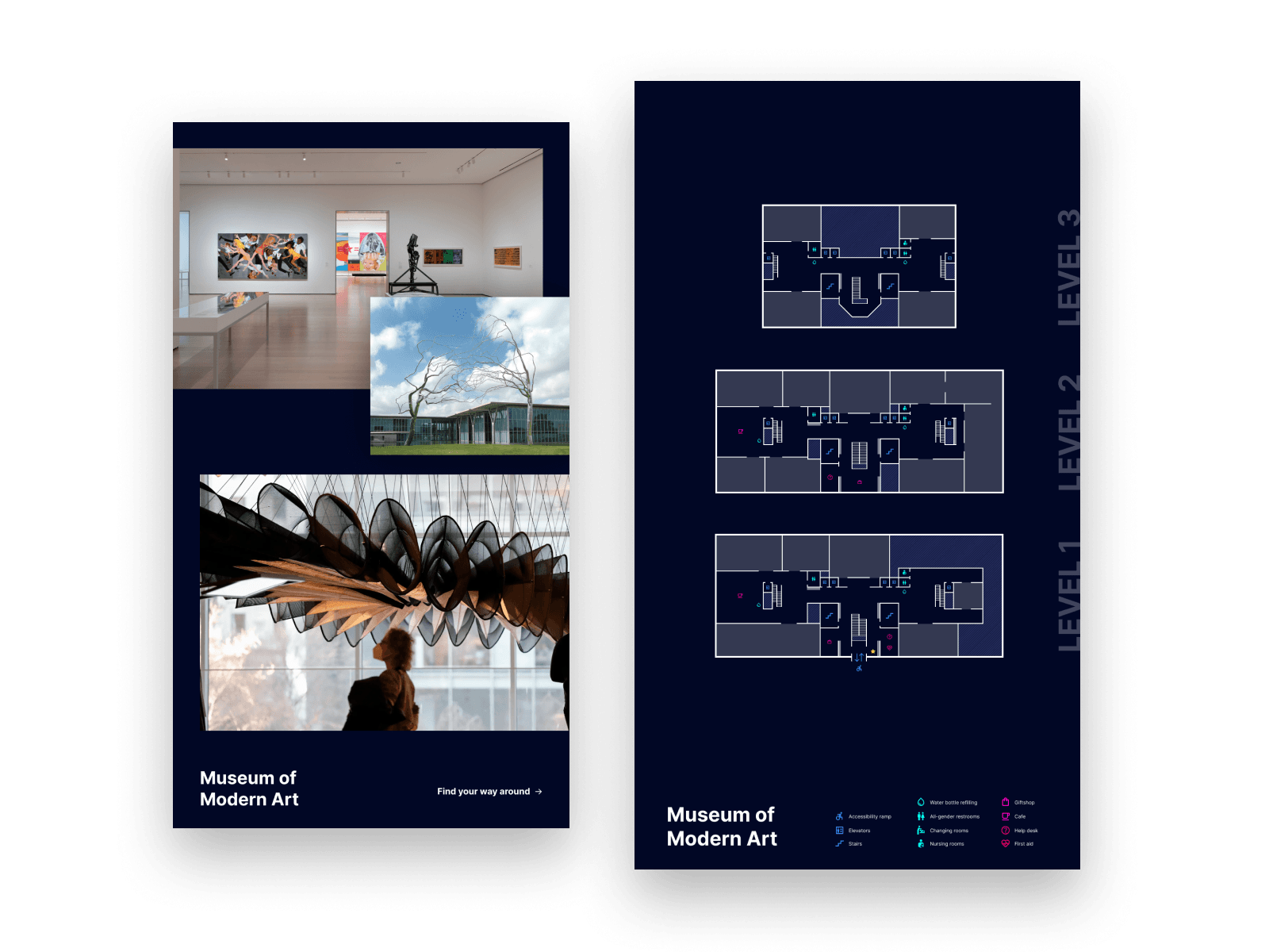
Publish the same floor plan as a glanceable lobby map or a touch-driven route finder—whichever the moment needs. Entertainment venues use interactive seat-finders and concourse navigation in stadiums while keeping simpler directional boards at entrances and exits.
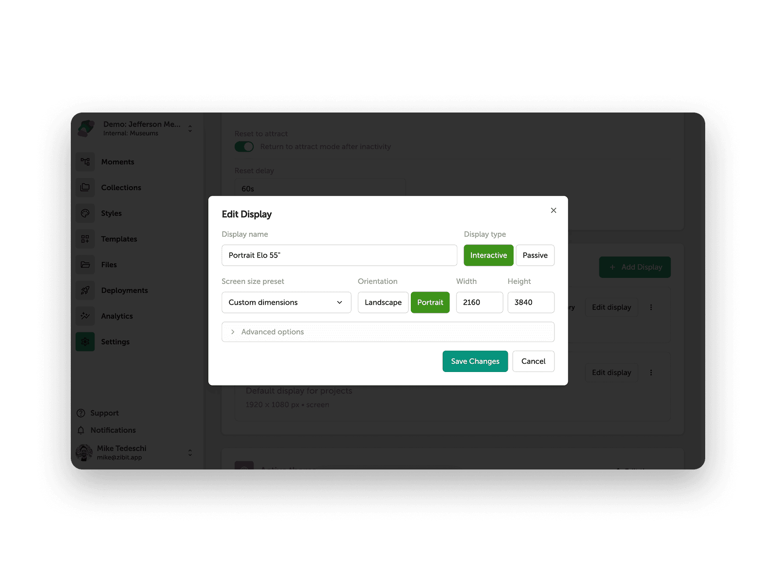
Tag elevators, ramps, and accessible entrances so visitors get paths that work for them—not just the shortest walk. Civic and nonprofit buildings can use this to prioritize accessible routes through multi-service facilities.
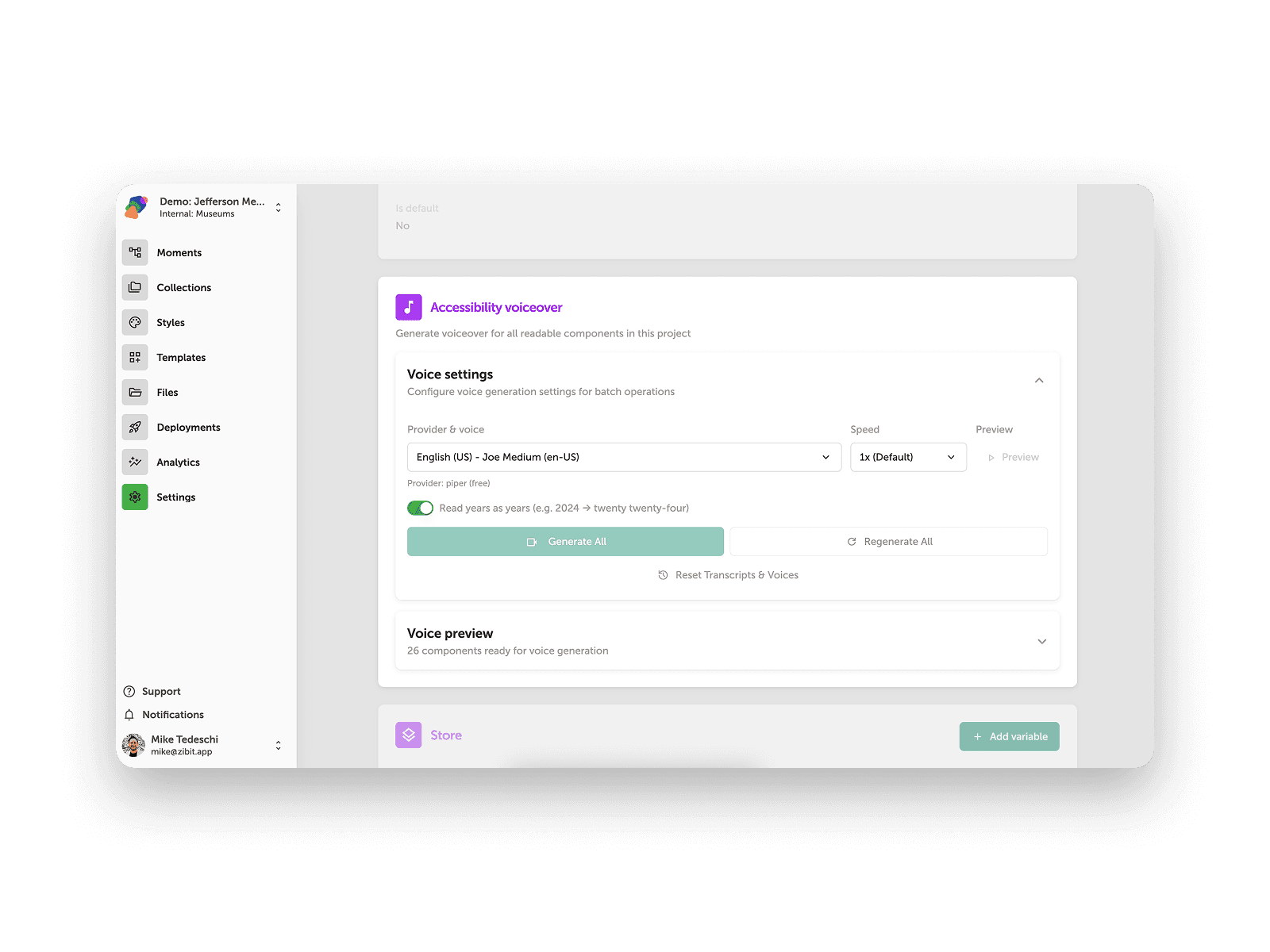
Exhibit-to-exhibit routing, suggested paths by interest or time, and outdoor-to-indoor maps for zoos and historic campuses.
In-store product and department location, restaurant table finders, and storefront-to-storefront routing in shopping centers.
Attraction routing with wait times, stadium seat-finders, and restroom or concession navigation tied to crowding.
Gate and terminal navigation, resort amenity finders, and transit connection routing for platforms and transfers.
Department and office finders with accessibility-first routing through elevators, ramps, and accessible entrances.
Campus building and classroom finders, library resource location, and orientation routing for new students.
Trade show booth routing, co-working floor finders, and branch or department navigation in lobbies.
Practical reads for teams planning digital wayfinding.
Yes. Teams use Zibit for interactive wayfinding with suggested routes, live maps, and accessibility-first paths—updated the same day a gallery, gate, or booth changes.
No. Zibit is fully no-code. You build interactive experiences with a drag-and-drop editor, templates, and shared style sets—no developers required.
Yes. Zibit is built accessible by default, with automatically generated color and type contrast, captions, AI-generated voiceovers, and integration with accessibility controllers.
Zibit's Basic plan is $89/month, or $80/month billed annually ($960/year). Professional and Organization plans add more player installations and features, and every plan starts with a free 14-day trial.
See full pricingStart a free 14-day trial or schedule a demo, then build your first project in the editor—from scratch or from a template—and deploy it to your device with the Zibit player app.
Try for free